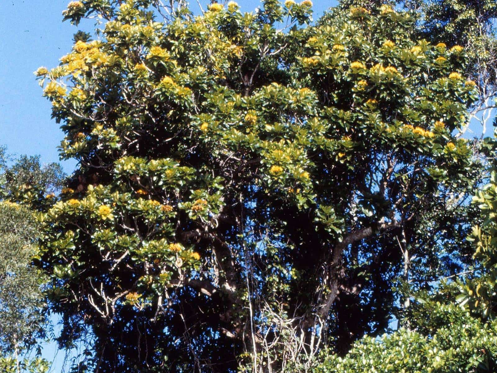
If you only do one thing at Mount Glorious, make it a walk at Maiala. This day-use area on the north-west edge of the village is the gateway to the best rainforest on the southern D'Aguilar Range, and five official walking tracks start from beside the car parks. QPWS describes it as a place to stroll through lush subtropical rainforest or linger over a long lunch, and that is a fair summary: the walks range from a 45 minute wander to a three hour hike, and the picnic grounds are among the most pleasant near Brisbane.
1938
Maiala National Park
Declared, now part of D'Aguilar NP
5
Walking tracks
All start at Maiala
42 km
From Brisbane CBD
Approximate
Getting to Maiala
Maiala is in the southern section of D'Aguilar National Park, about 42 kilometres from Brisbane's city centre. Access roads are sealed and suitable for conventional two-wheel-drive vehicles.
- From Brisbane: take Mount Nebo Road (tourist route 8) from The Gap to Walkabout Creek Discovery Centre, then continue north-west along Mount Nebo Road for another 30 kilometres to Maiala.
- From Samford: drive about 19 kilometres via Mount Glorious Road.
The day-use area and the track entry points are beside the car parks. QPWS notes that the wheelchair-accessible roadside car parks on Mount Glorious Road offer the best combination of parking and access to the toilets, barbecues, picnic shelter and tables.
The five tracks
All five Maiala tracks are listed in the QPWS walking tables for the southern section of the park.
| Track | Distance | Allow | Grade |
|---|---|---|---|
| Western Window track | 1.2 km return | 45 min | 3 |
| Rainforest circuit | 2 km circuit | 1 hr | 3 |
| Cypress Grove circuit | 2.5 km circuit | 1 hr 30 min | 3 |
| Greenes Falls track | 4.3 km return | 2 hr | 3 |
| Westside track | 6.4 km return | 3 hr | 4 |
Greenes Falls has its own guide. The other four are described below.
Rainforest circuit
2 km circuit · allow 1 hour · Grade 3
This is the signature Maiala walk and the best introduction to the mountain's rainforest. QPWS describes a journey through lush subtropical rainforest past strangler figs, ferns, palms, fungi and climbing lianas. Along the way you pass an old Sydney blue gum, which QPWS calls a magnificent survivor of the eucalypt forest that once dominated the area, and cross clear creeks before looping back to the picnic ground.
The circuit starts and finishes at Maiala without retracing its steps. Many wayside signs along the circuit and in the day-use area interpret the site's history and natural environment, which makes it a good walk for curious children.
What to look for:
- Strangler figs. Look up at the trunks wrapped in a lattice of roots. A fig begins life as a seed dropped high in a host tree and sends roots down to the ground. Our rainforest plants guide explains more.
- Buttress roots. Wide, plank-like roots flare from the base of some trees, helping them stay upright in shallow rainforest soils.
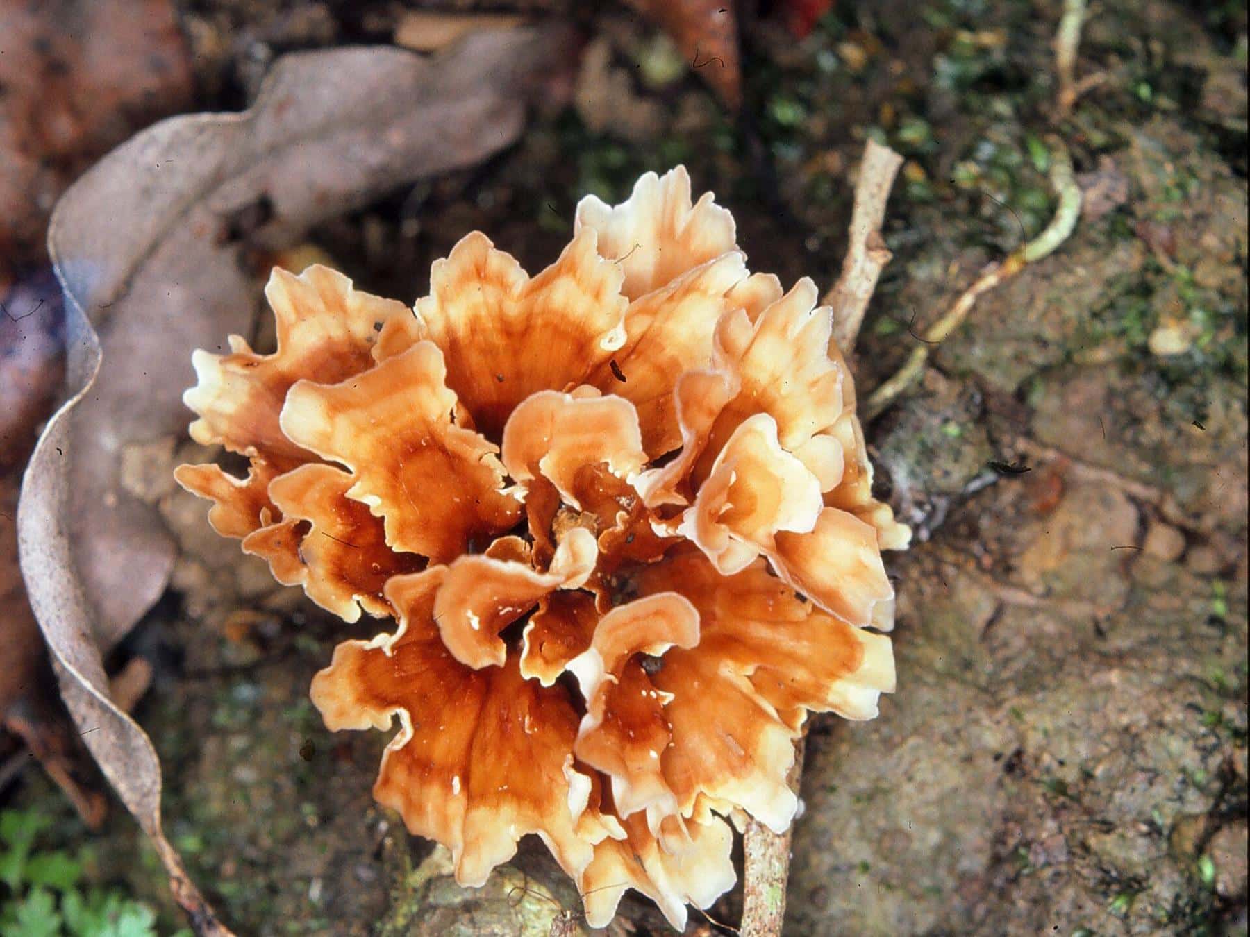
- Fungi. After rain, logs and the forest floor sprout brackets, cups and mushrooms in many colours.
- Birds. Listen for the calls of bowerbirds, catbirds and pittas. Brush-turkeys scratch in the leaf litter.
Cypress Grove circuit
2.5 km circuit · allow 1.5 hours · Grade 3
The Cypress Grove circuit begins at Browns Road, which you reach by walking about halfway around the Rainforest circuit from Maiala. QPWS describes a walk that weaves through large eucalypt trees, vines and a small grove of native cypress pines.
It is a good choice if you want to see the change between rainforest and taller eucalypt forest. It also connects with the Greenes Falls track, so you can add the falls for a longer outing, or add the short Cypress Grove loop on your return from the falls. Take care when crossing Browns Road.
Western Window track
1.2 km return · allow 45 minutes · Grade 3
The shortest of the Maiala tracks, the Western Window track is a quick taste of the rainforest for anyone short of time or with small children. It is a return walk, so you come back the way you went.
Westside track
6.4 km return · allow 3 hours · Grade 4
The Westside track is the longest of the standard Maiala walks and the only one graded 4. Grade 4 tracks are rougher and steeper and may have sections that are overgrown or harder to follow, so this walk suits experienced bushwalkers with good footwear, water and a map. Allow a full morning or afternoon, and leave plenty of daylight for the return.
The Aquila loop: for serious walkers
Maiala is also the start of the Aquila loop, which QPWS lists among the longer walks in the southern section: 24 kilometres, Grade 4, allowing six to ten hours. Like the other long walks, it follows management roads, which can be completed in one long day or broken with an overnight stay at a remote bush camp site. QPWS recommends watching for small road signs and carrying the D'Aguilar National Park South D'Aguilar section topographic map, which is sold at Walkabout Creek Discovery Centre. Camping permits are required and fees apply for the bush camps.
A short history of Maiala
Today it is hard to picture, but the peaceful picnic ground at Maiala was once industrial. QPWS notes that Maiala was the site of a flourishing sawmill in the 1860s. Across the range, red cedar and hoop pine were felled and used to build houses that still stand in Brisbane, and stumps with the notches cut for springboard platforms can still be seen in the forest.
Protection came step by step. The first national park on the D'Aguilar Range was gazetted in 1930 as National Park, Mount D'Aguilar, with an area of 261 hectares. A reserve for park and scenic purposes was created at Mount Glorious in 1935 and became Maiala National Park in 1938, gradually expanding to 1,140 hectares. Maiala is now part of the larger D'Aguilar National Park.
Making a day of it
Maiala's picnic ground has tables, a picnic shelter and barbecues, so it is easy to combine a walk with lunch. Here are three ways to plan a visit:
- Short and sweet (2 hours): walk the Rainforest circuit, then enjoy a picnic.
- The classic (half day): Rainforest circuit to Browns Road, then the Cypress Grove circuit and the Greenes Falls track, returning to Maiala for a late lunch.
- The full day: walk Greenes Falls in the morning, have lunch in the village, then drive to Westridge Outlook and Wivenhoe Outlook for the afternoon views.
Not sure which track suits you? Try our walk finder.
Tips for a good walk
- Go early. Mornings are cooler, the car parks are quieter and birds are most active.
- Walk quietly. You will hear and see far more wildlife if you move slowly and stop often.
- Stay on the track. QPWS asks walkers to stay on designated tracks. Shortcuts cause erosion and damage plants.
- Carry water. Even on a short circuit, humidity can be high.
- Bring a layer. Mount Glorious is cooler than Brisbane, and it can be damp and misty under the canopy.
- Leave it as you found it. Everything in the national park is protected. Do not collect plants, fungi, rocks or wood.
Maiala walk checklist
0 of 6 done
Ticks are saved in this browser only.
Accessibility
The day-use area has toilets and wheelchair access that may require assistance, and the roadside car parks on Mount Glorious Road are the best option for access to facilities. The walking tracks themselves are Grade 3 or 4, with slopes, steps, roots and uneven surfaces, so they are not suitable for wheelchairs or prams. Visitors with limited mobility can still enjoy the picnic ground, which sits beside the rainforest edge. QPWS lists the outlooks at Westridge and Wivenhoe as having no wheelchair access.
Frequently asked questions
Where is Maiala?
Maiala is a day-use area in the southern section of D'Aguilar National Park, on the north-west edge of the Mount Glorious township, about 42 kilometres from Brisbane's city centre.
Which Maiala walk is best for a first visit?
The Rainforest circuit. It is a 2 kilometre Grade 3 loop that allows about an hour and passes strangler figs, palms, creeks and an old Sydney blue gum, with interpretive signs along the way.
Are there toilets and barbecues at Maiala?
Yes. QPWS lists toilets, wood, fuel or coin barbecues, picnic tables and wheelchair access that may require assistance. The roadside car parks on Mount Glorious Road offer the best access to these facilities.
Are the tracks wheelchair accessible?
The day-use area has wheelchair access that may require assistance, but the walking tracks are Grade 3 or Grade 4, with steps, slopes and uneven surfaces, and are not suitable for wheelchairs.
What does Maiala mean?
QPWS does not give a meaning for the name on its Maiala pages, and we have not found a reliable source, so we do not repeat the various explanations seen online.
Was Maiala always a national park?
No. Maiala was the site of a sawmill in the 1860s. A reserve for park and scenic purposes was created at Mount Glorious in 1935 and became Maiala National Park in 1938. It is now part of D'Aguilar National Park.
Can I bring my dog to Maiala?
No. Domestic animals are not permitted in D'Aguilar National Park.
Sources and further reading
Facts on this page were checked against these primary and official sources. Conditions change — confirm before you travel or buy.
- Maiala — Queensland Parks and Wildlife Service
- Rainforest circuit — Queensland Parks and Wildlife Service
- Cypress Grove circuit — Queensland Parks and Wildlife Service
- D'Aguilar National Park – Things to do — Queensland Parks and Wildlife Service
- D'Aguilar National Park – Nature, culture and history — Queensland Parks and Wildlife Service