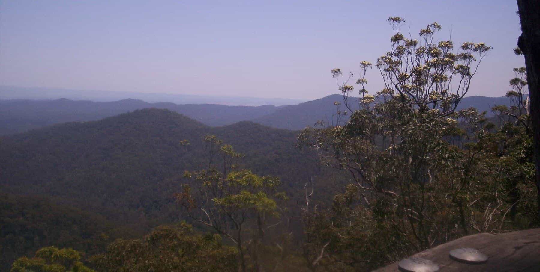
Mount Glorious is a small place. The Mount Glorious Community Association describes a community of fewer than 300 residents spread along about six kilometres of Mount Glorious Road and its side roads, completely surrounded by D'Aguilar National Park; the 2021 census counted 343 people in the wider locality. There is a community hall, a cafe and a restaurant, and not much else, which is exactly why people love it. This hub covers the village, its history, practical planning and the towns around it.
343
Population
2021 census, locality
1915
Mountain named
At a picnic
650 m
Village altitude
Approximate
The village today
The community association gives the village's altitude as about 650 metres above sea level, with a micro-climate generally around six degrees cooler than Brisbane. That makes it pleasant in summer and chilly in winter, when local accommodation with wood fires becomes popular. Thick mist is common at any time of year.
The vegetation around the village is a mix of subtropical rainforest and wet eucalypt forest. The national park comes right up to the backyards, and birds and wildlife are part of daily life.
Practical services are limited. According to the association, there are no shops, post office, fuel or ATM, and mobile reception is variable; there is a public phone beside the village cafe. The City of Moreton Bay runs a mobile library service that visits the Mount Glorious Hall. There is no school in the locality. Children travel to Mount Samson or Mount Nebo for primary school and to Ferny Grove for high school.
Our village guides
- Mount Glorious history tells the story of the mountain from Jinibara and Turrbal Country to the timber-getters, the 1915 picnic and the making of the national park.
- Planning your visit covers when to go, what to bring, food, accommodation, accessibility and staying safe.
- Mount Nebo, Samford and Dayboro introduces the neighbouring mountain village and the valley towns that make good additions to a day out.
The mountain and its neighbours
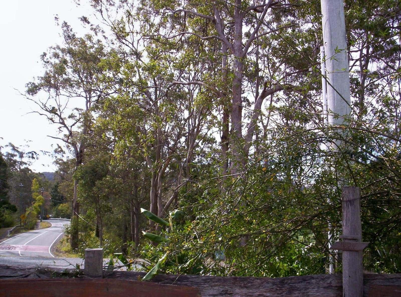
The Mount Glorious locality takes in more than one peak. From north to south, it includes Mount Samson (690 metres), Mount D'Aguilar (742 metres) and Mount Glorious itself (619 metres). Other mountains in the D'Aguilar Range include Mount Nebo, Mount Pleasant, Camp Mountain and Mount Mee, and the range's highest point is Tenison Woods Mountain at 770 metres.
Rivers rise here too. The North Pine and South Pine rivers flow east from the range, while to the north and west, the Stanley River and its tributaries run into the Somerset and Wivenhoe dam catchments. Further south, Enoggera Creek and Gold Creek feed Brisbane's old water supply reservoirs.
A short history
The D'Aguilar Range is Country of the Jinibara and Turrbal peoples. QPWS notes that its eucalypt forests, rainforest pockets and creeks provided food, medicine and many other resources, and that sacred sites include artefact scatters, bora rings, dreaming trails and traditional pathways.
Europeans arrived as farmers and timber-getters in the 1840s. Five blocks on the mountain became available early in the twentieth century; James O'Hara bought the first in 1903. In 1915, at a picnic on the mountain, Elizabeth Patrick remarked on the glorious view, and the name stuck. In 1921, a real estate map advertised 31 blocks as the Crest Estate. A reserve for park and scenic purposes was created at Mount Glorious in 1935 and became Maiala National Park in 1938. Our history guide tells the full story.
Art and community
The community association runs the village hall and lists an annual exhibition, Art with Altitude, held in November. It features artists and craftspeople from Mount Glorious and Mount Nebo, along with market stalls, food and coffee. Dates and details change, so check with the association before you plan a visit around it.
Towns below the range
The valley towns make good bookends to a mountain day:
- Samford, in the valley to the east, takes its Aboriginal name Kupidabin from a word meaning place of possums. It has a village main street that began to take shape in 1916, and Mount Glorious Road climbs from here to the mountain.
- Dayboro, north-east of the range, is a rural town of 2,376 people at the 2021 census, surrounded by avocado and pineapple plantations and dairy country.
- Mount Nebo, the neighbouring mountain village, was opened up for soldier settlers in 1919 and had 430 residents at the 2021 census.
- Mount Mee, at the northern end of the D'Aguilar Range, is the gateway to the northern section of the national park, with camping and 4WD forest drives.
Our guide to Mount Nebo, Samford and Dayboro has more.
Village visit checklist
0 of 6 done
Ticks are saved in this browser only.
When to visit
Each season brings something different. Summer is the wettest time, with lush forest and the chance of storms, and the mountain offers relief from the heat of the city. Autumn and spring are mild and comfortable for walking. Winter brings crisp, often clear days, chilly evenings and the best long views from the lookouts, along with the cosy appeal of a fire. Weekends are busiest; weekdays are quieter if you want the tracks and lookouts to yourself.
Guides in this section
Village & surrounds
Mount Glorious history
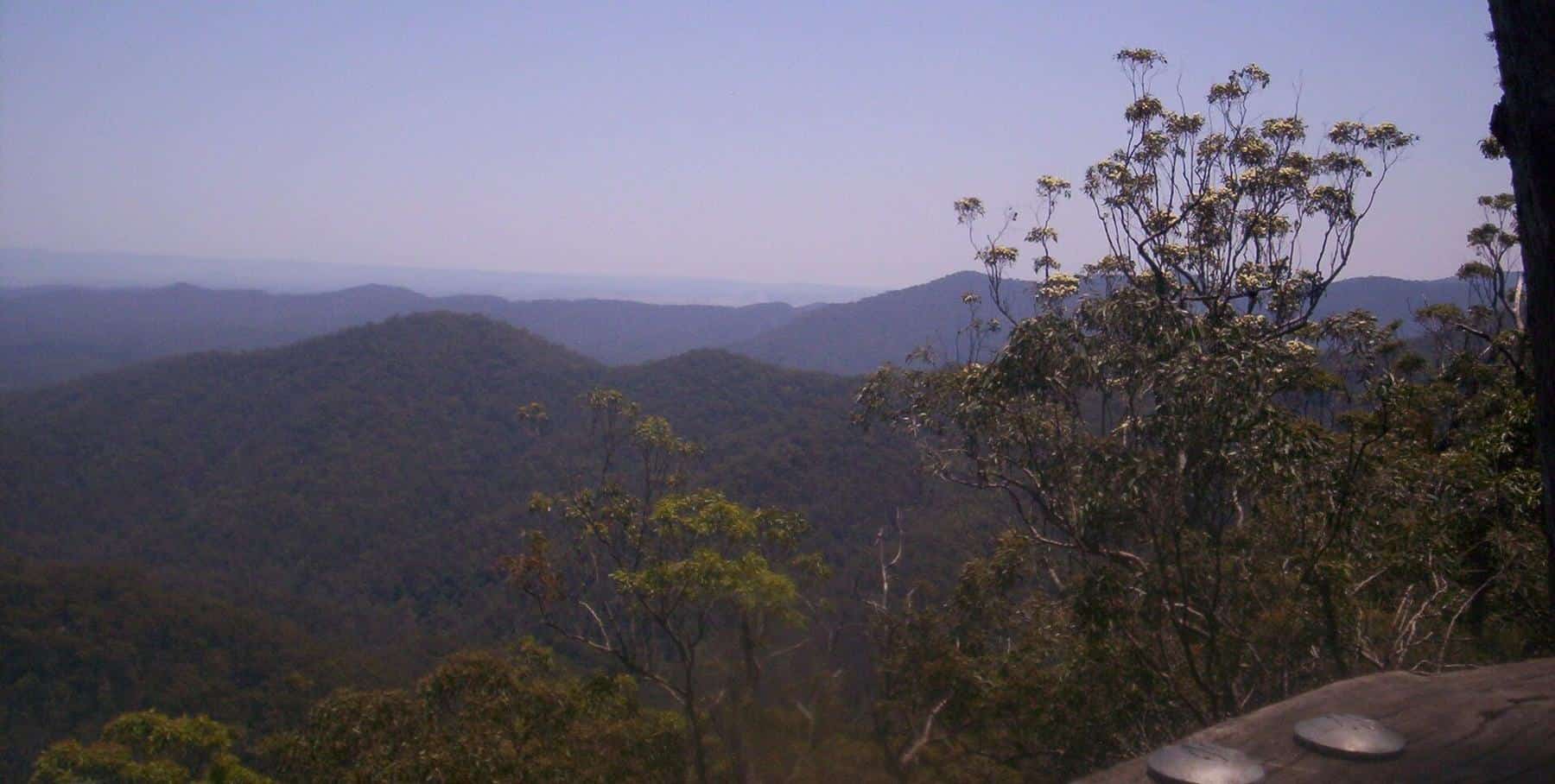
The history of Mount Glorious: Jinibara and Turrbal Country, timber-getters, the 1915 picnic that named the mountain and the making of the national park.
Read · 5 min
Village & surrounds
Planning your visit to Mount Glorious
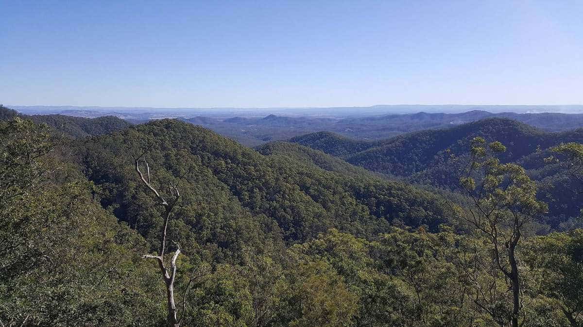
Practical tips for visiting Mount Glorious: when to go, weather and mist, getting there, food and supplies, accessibility, park rules, safety and what to pack.
Read · 5 min
Village & surrounds
Mount Nebo, Samford and Dayboro
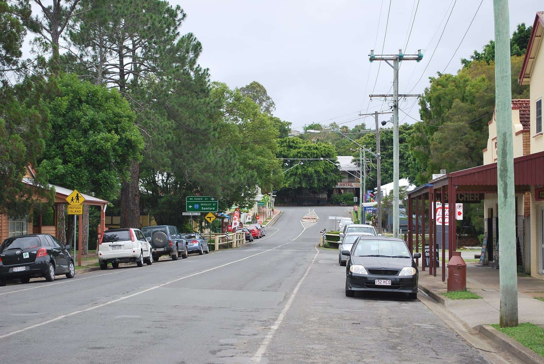
Towns to add to a Mount Glorious trip: Mount Nebo village, Samford in the valley, the rural town of Dayboro and Mount Mee at the north of the D'Aguilar Range.
Read · 5 min
Frequently asked questions
How many people live at Mount Glorious?
At the 2021 census, the locality of Mount Glorious had a population of 343 people.
Is there a school at Mount Glorious?
No. The nearest government primary schools are at Mount Samson and Mount Nebo, and the nearest government secondary school is Ferny Grove State High School.
What council area is Mount Glorious in?
Mount Glorious is a rural locality in the City of Moreton Bay.
Where can I eat at Mount Glorious?
The community association lists one cafe and one restaurant in the village. Opening days vary, so check before you go, and pack a picnic as a back-up; Maiala has picnic tables and barbecues.
What is Art with Altitude?
According to the Mount Glorious Community Association, Art with Altitude is an annual exhibition held in November, featuring artists and craftspeople from Mount Glorious and Mount Nebo, with market stalls and food. Check the association for current dates.
Are there towns nearby with more services?
Yes. Samford, about 19 kilometres from Maiala by road, has shops, cafes and fuel. Dayboro, to the north-east, is a larger rural town.
Sources and further reading
Facts on this page were checked against these primary and official sources. Conditions change — confirm before you travel or buy.
- Mount Glorious, Queensland — Wikipedia
- Mount Glorious Community Association — Mount Glorious Community Association
- D'Aguilar National Park – Nature, culture and history — Queensland Parks and Wildlife Service
- Mount Nebo, Queensland — Wikipedia
- Samford, Queensland — Wikipedia