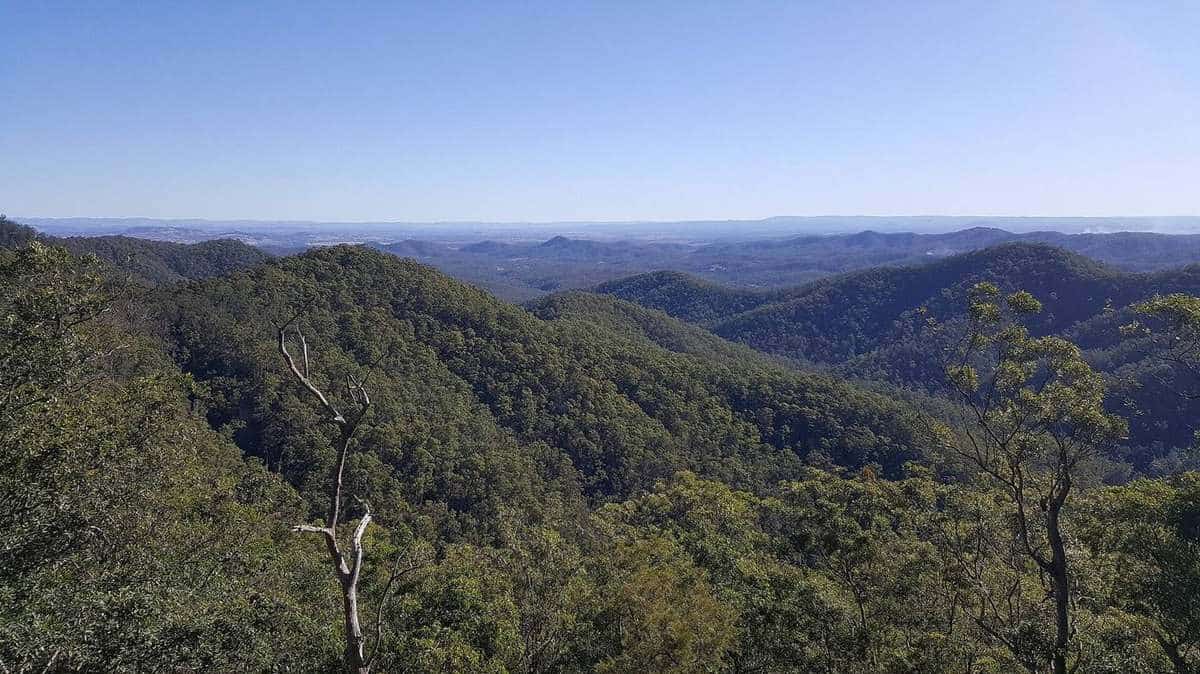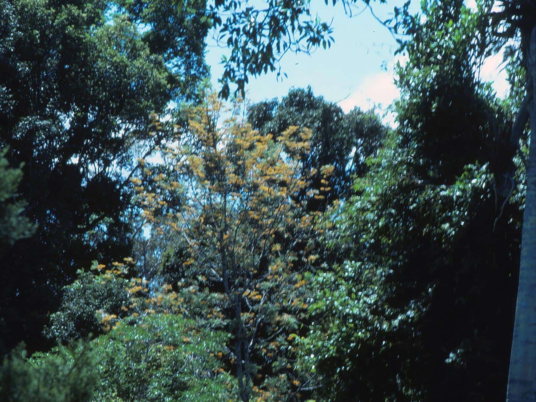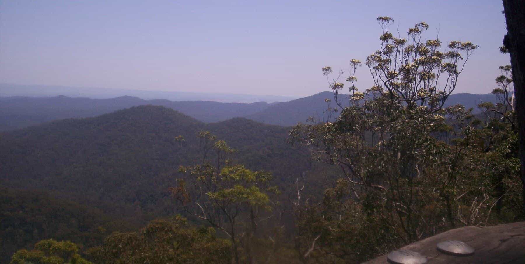
Mount Glorious looks timeless, but the forest you walk through today is the product of a long and sometimes difficult history. The mountain is ancient Country, was stripped of its most valuable timber within living memory of the city's founding, and was protected piece by piece through the twentieth century until it became part of one of the largest national parks in South East Queensland. This guide tells that story.
1827
Range named
By Sir Thomas Mitchell
1915
Mountain named
At a picnic
2009
D'Aguilar NP
Forests amalgamated
Sacred Country
Long before Europeans arrived, the D'Aguilar Range was, and remains, Country of great importance to its Traditional Owners. QPWS says the range and surrounding areas hold significant cultural value for the Jinibara and Turrbal First Nations peoples. The eucalypt forests, rainforest pockets and creeks provided food, medicine and many other resources. Sacred sites in the range include artefact scatters, bora rings, dreaming trails and traditional pathways.
Nearby place names carry this heritage. Samford, in the valley below, was known as Kupidabin, from a word meaning place of possums, and a bora ring survives at nearby Wights Mountain. Mount Samson, at the northern end of the Mount Glorious locality, was known as Buran, meaning wind.
When visiting the mountain, remember that it is a cultural landscape as well as a natural one. Treat all sites with respect.
Naming the range
The range was named in 1827 by Sir Thomas Mitchell, the colonial surveyor, after Sir George Charles d'Aguilar. Today the D'Aguilar Range stretches from near Caboolture in the north to the western edge of Brisbane, taking in Camp Mountain, Mount Nebo, Mount Pleasant, Mount Glorious, Mount Samson and Mount Mee.
Timber and gold
Farmers and timber-getters first settled on the range in the 1840s. QPWS records that much of the country around the range was cleared for farming, and that giant red cedar and hoop pine trees were felled and used to build houses that still stand in Brisbane today. Many stumps with notches, cut to hold the springboard platforms that timber-getters stood on while sawing, can still be seen throughout the park.
Logging expanded in the 1870s as loggers removed hoop pine, cedar, silky oak and black bean, and it was instrumental in the growth of Dayboro, below the range. At Maiala, now a peaceful picnic ground, QPWS notes there was a flourishing sawmill in the 1860s.
Gold drew prospectors too. Around the 1860s, they staked claims on quartz-bearing rock, but the mines produced only small amounts of gold and were abandoned in the 1950s. Remains of mine shafts can still be seen along the Golden Boulder track at Bellbird Grove.
Settling the mountain
On Mount Glorious itself, settlement came in the early twentieth century. Five blocks on the mountain were made available, and the first was bought by James O'Hara in 1903. In 1921, a real estate map advertised 31 blocks as "Crest Estate: the first section", subdivided from Portion 9 in the Parish of Parker.
Nearby Mount Nebo followed a similar path. European settlement there began in 1919, when the Highlands Estate was subdivided into smaller blocks for soldiers returning from the First World War.
A glorious view
The mountain's name comes from a single remark. In 1915, at a picnic on the mountain, Elizabeth Patrick commented on the view, calling it glorious, and the name stuck. It is hard to think of a better summary of the place.
An unexpected tremor
In November 1960, the mountain was the centre of a magnitude 4.4 earthquake, a rare event for South East Queensland.
Protecting the forest
As the timber was cut, people began to push for the forests' protection. QPWS describes how the earliest timber reserves were gazetted in 1918, and extensive logging of hardwoods took place after the Second World War. Small areas were protected as Scenic Reserves or Beauty Spots.
The first national park on the D'Aguilar Range was gazetted in 1930 as National Park, Mount D'Aguilar, with an area of 261 hectares. A reserve for park and scenic purposes was created at Mount Glorious in 1935 and became Maiala National Park in 1938, gradually expanding to 1,140 hectares. Other national parks followed: Jollys Lookout in 1938, Manorina in 1949 and Boombana in 1950. Camp Mountain lookout was constructed in the 1970s.
Brisbane Forest Park
In 1973, a community group, the Brisbane National and Recreation Park Committee, released a study on the feasibility of a park between Mount Coot-tha and Mount Nebo. Brisbane City Council was initially concerned about opening a recreation area within a water supply catchment, so a coordinating authority was set up to address those concerns.
In 1977 an Act of Parliament created Brisbane Forest Park, a "nature-based recreation area" along the southern end of the range made up of small national parks, council reserves, state forests, water catchment areas and other crown land. QPWS calls it a visionary concept of a 25,000 hectare "park for the people", managed by the community, the Queensland Government and Brisbane City Council in partnership. The Brisbane Forest Park Bill 1977 stated its objective as taking advantage of the eminently suitable stretch of country "for the benefit (relaxation and enjoyment) of the public".
D'Aguilar National Park
D'Aguilar National Park was declared in 1994, combining and extending national park and forest reserve areas along the range. Mount Mee State Forest was converted to national park in 2000. In 2009, the Brisbane Forest Park coordinating authority ceased to exist, large areas of forest reserve were declared national park, and the whole became D'Aguilar National Park. Today it is one of the largest national parks in South East Queensland and the closest to Brisbane, managed by QPWS under the Nature Conservation Act 1992.
Timeline
| Year | Event |
|---|---|
| 1827 | Sir Thomas Mitchell names the D'Aguilar Range |
| 1840s | Farmers and timber-getters settle on the range |
| 1860s | Sawmill at Maiala; gold prospecting begins |
| 1903 | James O'Hara buys the first block on Mount Glorious |
| 1915 | Elizabeth Patrick's remark names Mount Glorious |
| 1918 | First timber reserves gazetted |
| 1919 | Mount Nebo subdivided for soldier settlers |
| 1921 | Crest Estate blocks advertised on Mount Glorious |
| 1930 | First national park on the range, Mount D'Aguilar |
| 1938 | Maiala National Park declared |
| 1960 | Magnitude 4.4 earthquake centred on the mountain |
| 1977 | Brisbane Forest Park created |
| 1994 | D'Aguilar National Park declared |
| 2009 | Forests amalgamated into D'Aguilar National Park |
History lover's checklist
0 of 6 done
Ticks are saved in this browser only.
Frequently asked questions
How did Mount Glorious get its name?
The name is said to have come from a remark by Elizabeth Patrick at a picnic in 1915, when she commented on the glorious view.
Whose Country is Mount Glorious on?
QPWS says the D'Aguilar Range and surrounding areas hold significant cultural value for the Jinibara and Turrbal First Nations peoples.
When was the first land bought on Mount Glorious?
Five blocks on the mountain were made available early in the twentieth century. James O'Hara bought the first block in 1903.
Who was the D'Aguilar Range named after?
The range was named by Sir Thomas Mitchell in 1827 after Sir George Charles d'Aguilar.
When did Brisbane Forest Park become D'Aguilar National Park?
Brisbane Forest Park was created in 1977. In 2009 its coordinating authority ceased, large areas of forest reserve became national park, and the area became part of D'Aguilar National Park.
Was there an earthquake at Mount Glorious?
Yes. The mountain was the centre of a magnitude 4.4 earthquake in November 1960.
Sources and further reading
Facts on this page were checked against these primary and official sources. Conditions change — confirm before you travel or buy.
- Mount Glorious, Queensland — Wikipedia
- D'Aguilar National Park – Nature, culture and history — Queensland Parks and Wildlife Service
- D'Aguilar Range — Wikipedia
- Brisbane Forest Park — Wikipedia
- Samford, Queensland — Wikipedia
- Mount Samson, Queensland — Wikipedia
- Greenes Falls track — Queensland Parks and Wildlife Service