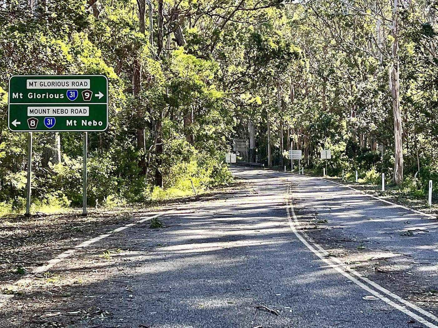
For many people the drive is the point. The road to Mount Glorious leaves the suburbs behind within minutes and climbs into the national park, unfolding lookout after lookout as it goes. QPWS describes it simply as a beautiful scenic drive that winds through varied eucalypt forest to the Mount Nebo and Mount Glorious townships, passing several lookouts along the way. This hub gathers our guides to the main road up, the lookouts, riding the mountain and the route onward to Lake Wivenhoe.
Route 8
Mount Nebo Road
Signed tourist route
30 km
Walkabout Creek to Maiala
Along Mount Nebo Road
19 km
Samford to Maiala
Via Mount Glorious Road
The routes at a glance
There are three main roads on the mountain:
- Mount Nebo Road climbs from the Brisbane suburb of The Gap, past Walkabout Creek Discovery Centre and through the national park to Mount Nebo and on to Mount Glorious. It is signed as tourist route 8. QPWS gives the distance from Walkabout Creek to Maiala as another 30 kilometres.
- Mount Glorious Road (Samford–Mount Glorious Road) connects the village with Samford in the valley to the east. QPWS gives the drive from Samford to Maiala as about 19 kilometres.
- The Northbrook Parkway continues from Mount Glorious down the western side of the range, linking the national park with the eastern shore of Lake Wivenhoe.
All three are sealed and suitable for conventional vehicles, but they are narrow, steep and winding. In the southern section of the park there are no four-wheel-drive or trail-bike tracks; the 4WD forest drives are in the northern Mount Mee section.
Our driving guides
- Mount Nebo Road scenic drive takes you from The Gap to Maiala, stop by stop, from Walkabout Creek to Jollys Lookout, Boombana, Manorina and Westridge Outlook.
- Riding Mount Glorious safely covers what cyclists, motorcyclists and drivers should know to share the mountain roads.
- The Northbrook Parkway and Lake Wivenhoe follows the road down the far side of the range to South East Queensland's largest dam.
Lookouts and stops
QPWS lists a series of day-use areas and lookouts along the roads, with different facilities at each:
| Stop | What it offers | Toilets |
|---|---|---|
| Walkabout Creek Discovery Centre | Visitor centre, wildlife centre, cafe | Yes |
| Bellbird Grove | Large open picnic area in a forest grove | Yes |
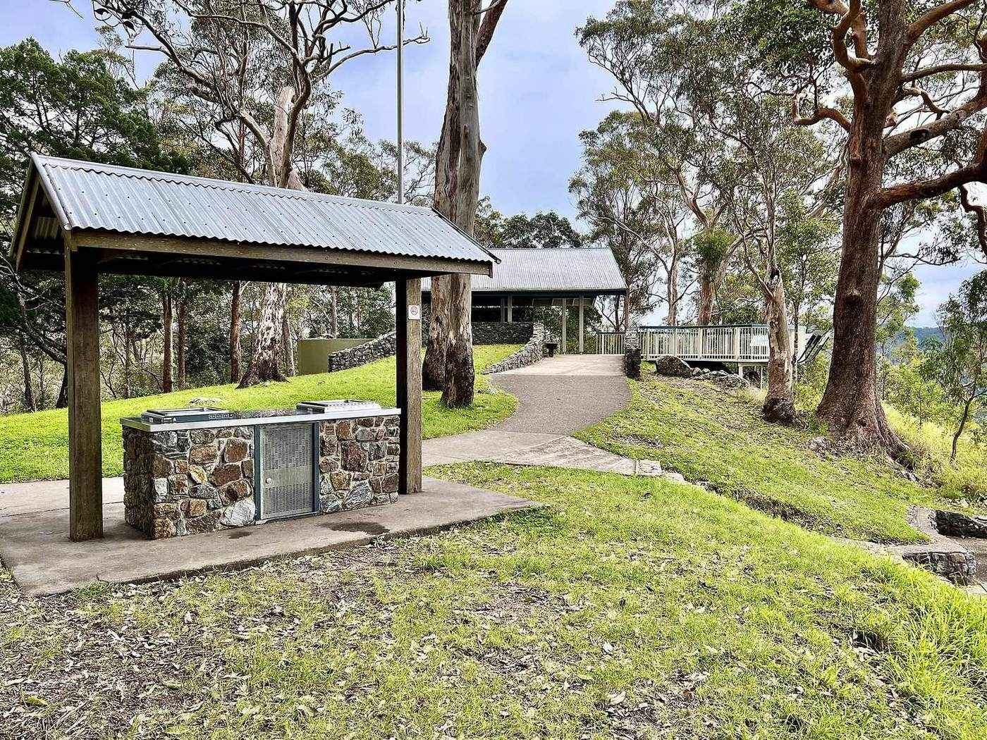
| Jollys Lookout | Panoramic views, picnic, barbecues, short walk | Yes |
| Boombana | Trailhead for the Pitta circuit | No |
| Manorina | Forest walks and country views | No |
| Maiala | Rainforest walks, picnic and barbecues | Yes |
| Westridge Outlook | Boardwalk around a rocky outcrop with views west | No |
| Wivenhoe Outlook | Views over Lake Wivenhoe and to the west | No |
Camp Mountain lookout, reached by a steep walk, offers views over Brisbane and beyond. Rocky Hole has a series of rock pools where you can dip your feet.
Planning the drive
- Allow time. The distances look small, but the road is slow. With stops for a lookout, a walk and lunch, the round trip easily fills a day.
- Fuel and cash. The village has no fuel, shops or ATM, according to the community association. Fill up before you climb.
- Weather. Thick mist is common on the mountain at any time of year, and wet roads are slippery. Turn your headlights on in fog and slow down.
- Wildlife. Pademelons, wallabies and brush-turkeys can step onto the road, particularly around dawn and dusk.
- Peak times. Weekends are busy with cyclists and motorcyclists. Expect them on blind corners and give them room.
Making a loop
The most satisfying way to do the drive is as a loop, so you never retrace your steps:
- The short loop. Up Mount Nebo Road from The Gap, lunch at Mount Glorious, then down Mount Glorious Road to Samford and back to Brisbane.
- The long loop. Up Mount Nebo Road, over the range on the Northbrook Parkway to Lake Wivenhoe, then back to Brisbane via the Brisbane Valley Highway. QPWS suggests this as an interesting round trip.
- The reverse. Start at Samford and climb Mount Glorious Road, which some drivers find a gentler introduction to the mountain.
The road through history
The roads followed the timber-getters. Logging on the range expanded from the 1870s as hoop pine, cedar, silky oak and black bean were taken, and timber hauling helped towns such as Dayboro grow. Mount Nebo was subdivided for returned soldiers in 1919, and blocks on Mount Glorious were advertised as the Crest Estate in 1921. As the forests were gradually protected through the twentieth century, the road became a route for recreation rather than for timber.
Drive day checklist
0 of 6 done
Ticks are saved in this browser only.
Guides in this section
The drive
Mount Nebo Road scenic drive
Stop-by-stop guide to Mount Nebo Road from The Gap to Mount Glorious: Walkabout Creek, Bellbird Grove, Jollys Lookout, Boombana, Manorina and Maiala.
Read · 5 min
The drive
Riding Mount Glorious safely
Sharing the Mount Glorious and Mount Nebo roads safely: tips for cyclists, motorcyclists and drivers, Queensland passing rules, weather, wildlife and planning.
Read · 5 min
The drive
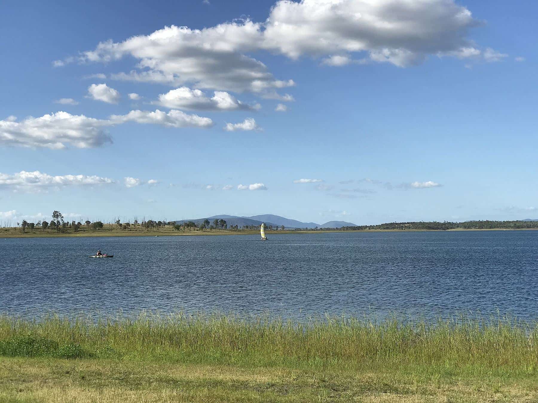
The Northbrook Parkway and Lake Wivenhoe
Drive from Mount Glorious down the Northbrook Parkway to Lake Wivenhoe: Westridge and Wivenhoe outlooks, the dam, the lake and loop routes home.
Read · 5 min
Frequently asked questions
How long does it take to drive to Mount Glorious?
Allow about an hour from central Brisbane without stops. Maiala is about 42 kilometres from the city centre, and the road is slow and winding, so do not rush it.
Which way should I drive up?
The classic route is Mount Nebo Road from The Gap, which passes Walkabout Creek, Jollys Lookout and Mount Nebo. Mount Glorious Road from Samford is about 19 kilometres to Maiala and makes a good return route for a loop.
Is the road suitable for caravans?
The roads are sealed but steep, narrow and full of tight bends. Large caravans and motorhomes will find them slow and challenging. Check current conditions and consider leaving larger rigs below the range.
Is there a lookout over Lake Wivenhoe?
Yes. Wivenhoe Outlook, beyond the village on the Northbrook Parkway side, has sweeping views over Lake Wivenhoe and to the west.
Can I continue past Mount Glorious?
Yes. The Northbrook Parkway continues from Mount Glorious down the western side of the range to the eastern shore of Lake Wivenhoe. You can return via the Brisbane Valley Highway or back over the mountain.
Is there fuel on the mountain?
There is no fuel station at Mount Glorious. Fill up in Brisbane, Samford or another town before you drive up.
Sources and further reading
Facts on this page were checked against these primary and official sources. Conditions change — confirm before you travel or buy.
- D'Aguilar National Park – Things to do (driving) — Queensland Parks and Wildlife Service
- Maiala – getting there — Queensland Parks and Wildlife Service
- D'Aguilar National Park – Attractions — Queensland Parks and Wildlife Service
- Wivenhoe Dam — Wikipedia
- Mount Glorious Community Association — Mount Glorious Community Association