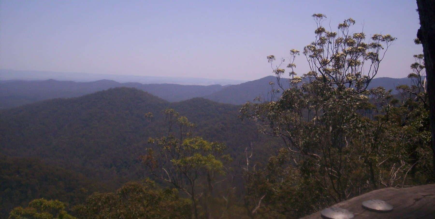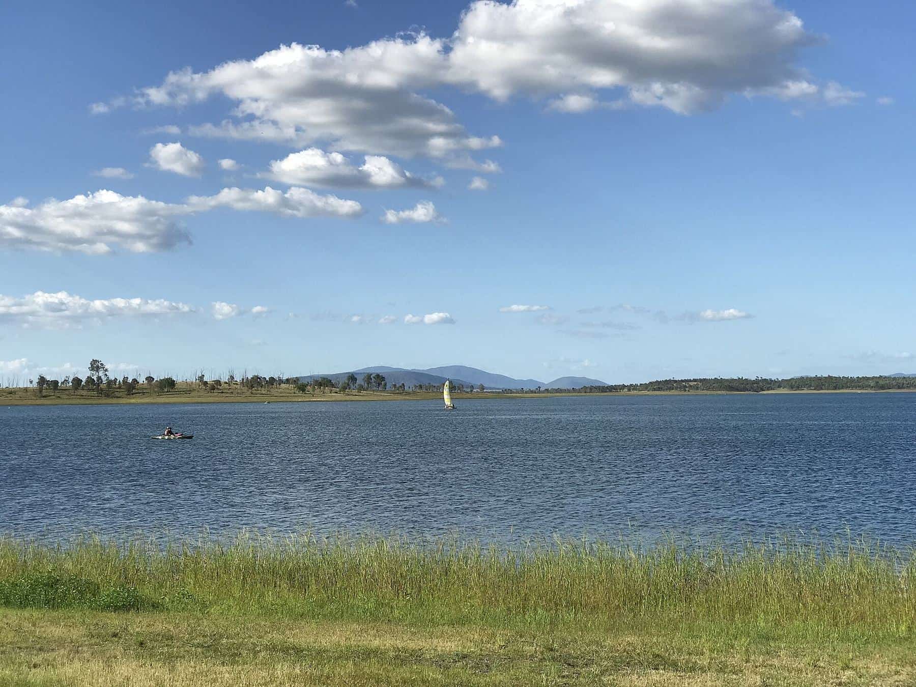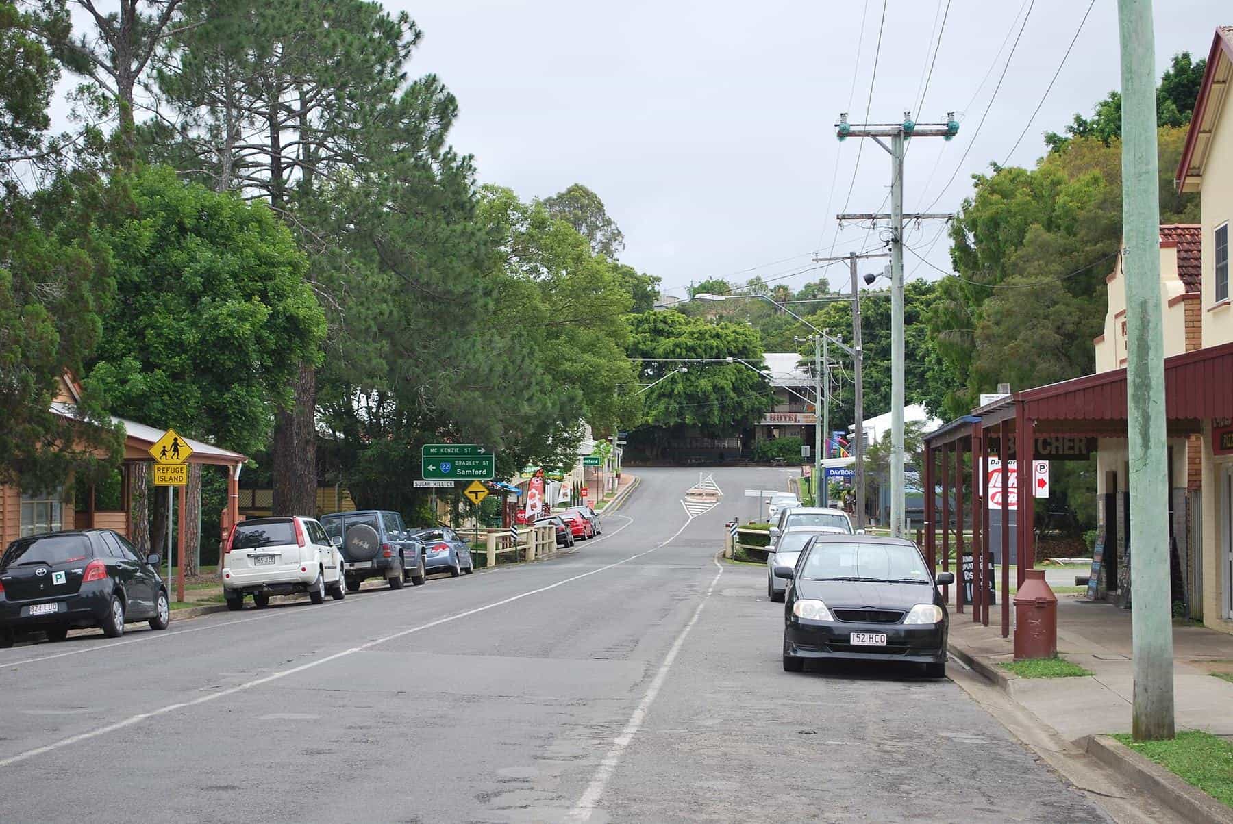
Mount Glorious sits at the heart of a cluster of communities along the D'Aguilar Range and in the valleys below. Each has its own story, and each makes a good addition to a day on the mountain, whether for supplies, a meal, a stroll or simply a different view. This guide introduces Mount Nebo, Samford, Dayboro and Mount Mee.
430
Mount Nebo
2021 census
2,376
Dayboro
2021 census
519
Mount Mee
2021 census
Mount Nebo
Mount Nebo is Mount Glorious's nearest neighbour, a rural locality in the City of Moreton Bay on the road up from Brisbane. The mountain rises to 617 metres above sea level, about 18 kilometres north-west of The Gap. The south of the locality is rural residential, and the rest lies within D'Aguilar National Park. At the 2021 census, 430 people lived there.
History
European settlement at Mount Nebo began in 1919, when the Highlands Estate was subdivided into smaller blocks for soldiers returning from the First World War. For some years the community belonged to the Shire of Esk, but a boundary change between 1932 and 1936 moved it into the Shire of Pine Rivers, and since 2008 it has been part of the City of Moreton Bay. Mount Nebo State School opened in 1931 and is still operating, a tiny school on the mountain.
Visiting
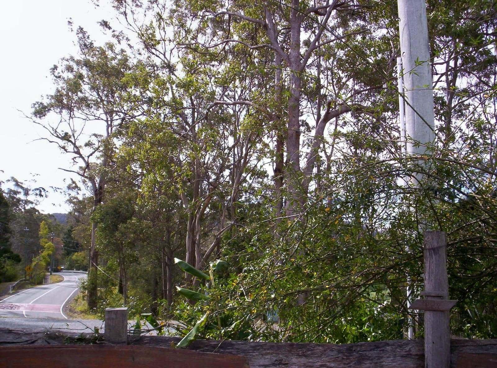
Mount Nebo Road runs through the village. Nearby stops in the national park include Manorina, with the short Atrax circuit and the longer Morelia track, and Boombana, with the 1 kilometre Pitta circuit. QPWS notes that the vulnerable Maroochy nut, an inedible macadamia, grows on the slopes of Mount Nebo. Please drive slowly through the village; it is a residential community.
Samford
Samford lies in a hilly valley about 21 kilometres north-west of Brisbane, below the eastern slopes of the D'Aguilar Range. It is made up of two localities, Samford Village and Samford Valley, and Mount Glorious Road climbs from here to the mountain.
Kupidabin
The Aboriginal name for Samford is Kupidabin, from a word in the Waka language meaning place of possums. Samford was an important location for initiation ceremonies, attended by groups from Ipswich, Cressbrook, Mount Brisbane and Brisbane. A bora ring survives at nearby Wights Mountain, and records are kept at the local historical museum.
Bananas and the railway
Europeans did not settle the secluded upper South Pine valleys until the mid-1850s, with the first land auctions in 1855. Buildings began to appear on the village's main street in 1916, and the Samford railway station opened on the Dayboro line in 1918.
By 1908, banana growing on the steep ridges at the foot of the ranges had become one of the most important industries in the district. After the First World War, small farms were created for returned servicemen, and in 1926 and 1927 more bananas were consigned to southern markets from Samford station than from any other station in Queensland. The boom was short-lived: banana bunchy top virus spread to Samford and was the main reason for the industry's decline. From the late 1950s to 2002, the CSIRO ran the Samford Research Station, experimenting with tropical pasture plants.
Visiting
Samford Village has a mix of historical buildings, restaurants, shops and services, and the Samford Valley Historical Museum is in the heart of the village. It is the natural place to stop for fuel, supplies or a meal before or after the mountain. The Samford Conservation Park nearby has designated mountain-bike and shared trails.
Dayboro
Dayboro is a rural town about 46 kilometres north-north-west of Brisbane, on the lower foothills of the D'Aguilar Range. At the 2021 census, the locality had 2,376 residents. The surrounding land supports avocado and pineapple plantations and dairy cattle, and Mount Mee rises to the north.
Three names
Dayboro has had three names. It was first known as Hamilton, after Hugh Hamilton, appointed Receiving Officer for mail in 1875. In 1892 it became Terrors Creek, after the creek on which it stands; the creek and nearby Terrors Paddock were named after a grey Arab stallion, Terah, owned in the 1850s by Captain John Griffin. In 1917, the Postmaster-General decided that Terrors Creek sounded too much like Torrens Creek, and the town was renamed in honour of William Henry Day, Clerk of Petty Sessions and later Police Magistrate in Brisbane, who pioneered sugar growing in the district.
Timber, butter and rail
Timber logging on the range was instrumental in Dayboro's development. A store and hotel opened in the early 1890s, followed by a sawmill around 1900 and the Silverwood Butter Factory in 1903. A 1915 description praised the town as set prettily on a hillside, at the centre of miles of agricultural, dairying and fruit lands.
The Dayboro railway line opened on 25 September 1920, running from Ferny Grove through Samford. It served the district for 35 years until it closed beyond Ferny Grove on 1 July 1955, as road traffic took over. Remnants, including former railway bridges over the North Pine River and cuttings along Strong Road, can still be found.
Visiting
Dayboro's main street, Williams Street, is lined with older buildings and is a pleasant place for a stroll and a meal. Historic churches include St Francis Xavier's Catholic Church, opened in 1898, and the Dayboro Uniting Church, built as Terrors Creek Presbyterian Church in 1900.
Mount Mee
At the northern end of the D'Aguilar Range, Mount Mee (also known as Bonnie Knob) rises 498 metres above sea level, north of Dayboro. The locality had 519 residents at the 2021 census.
The area was known to its Aboriginal inhabitants as Dahmongah, meaning flying squirrel or glider. The English name may derive from mia-mia, a local word for a view or lookout. Settlers began arriving in 1873, many of them timber-getters drawn by red cedar, and sawmills operated on the mountain until the last closed in 1982.
Today the northern section of D'Aguilar National Park is at Mount Mee. Mount Mee State Forest was converted to national park in 2000. QPWS lists two formal camping areas, Neurum Creek and Archer, short walks such as the Piccabeen walk and Falls lookout track, the 13 kilometre Somerset trail, and three 4WD forest drives. The northern section closes after heavy rain, so check park alerts before you go.
Putting it together
- Mountain and valley loop: Brisbane to Mount Glorious via Mount Nebo Road, then down to Samford for lunch and back to the city.
- Range day: Mount Glorious in the morning, Samford, then north to Dayboro for the afternoon.
- Weekend: Mount Glorious and Mount Nebo on day one, Dayboro and the Mount Mee section of the park on day two.
Day out checklist
0 of 6 done
Ticks are saved in this browser only.
Frequently asked questions
How far is Samford from Mount Glorious?
QPWS gives the drive from Samford to Maiala, on the edge of Mount Glorious, as about 19 kilometres via Mount Glorious Road.
Why is Dayboro called Dayboro?
Dayboro was first known as Hamilton, then as Terrors Creek. In 1917, because Terrors Creek sounded too much like Torrens Creek, it was renamed to honour William Henry Day, an early settler who pioneered sugar growing in the district.
What does Kupidabin mean?
Kupidabin, the Aboriginal name for Samford, comes from a Waka language word meaning place of possums.
Is Mount Mee part of D'Aguilar National Park?
Yes. The northern section of D'Aguilar National Park is at Mount Mee. Mount Mee State Forest was converted to national park in 2000. It has two formal camping areas and 4WD forest drives.
Was there a railway to Dayboro?
Yes. The Dayboro railway line opened in 1920, running from Ferny Grove through Samford. It closed beyond Ferny Grove in 1955.
How many people live in Mount Nebo?
At the 2021 census, Mount Nebo had a population of 430 people.
Sources and further reading
Facts on this page were checked against these primary and official sources. Conditions change — confirm before you travel or buy.
- Mount Nebo, Queensland — Wikipedia
- Samford, Queensland — Wikipedia
- Dayboro, Queensland — Wikipedia
- Mount Mee, Queensland — Wikipedia
- D'Aguilar National Park – Things to do — Queensland Parks and Wildlife Service