Most visitors turn around at Mount Glorious, but the road keeps going. Beyond the village, past two of the best lookouts on the range, the Northbrook Parkway winds down the western side of the D'Aguilar Range to the eastern shore of Lake Wivenhoe. QPWS describes it as linking D'Aguilar National Park with the lake and suggests it as part of an interesting round trip. If you have the time, it turns a mountain outing into a full day of forest, views and water.
1,165,000 ML
Lake Wivenhoe
Capacity at full supply
462 km
Shoreline
Maximum
59 m
Dam wall
Height
The route
From Maiala on the north-west edge of Mount Glorious, follow the road west. It passes:
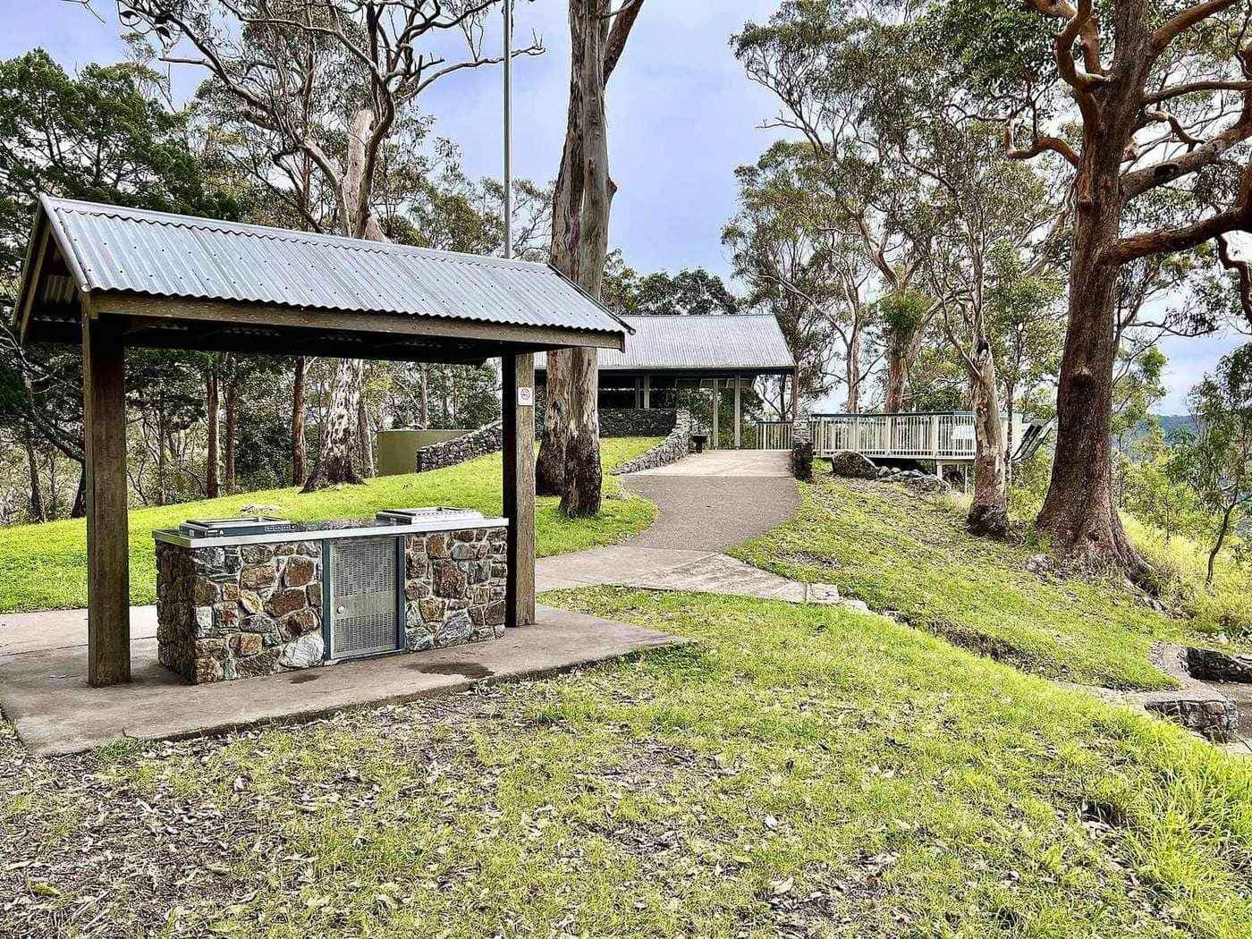
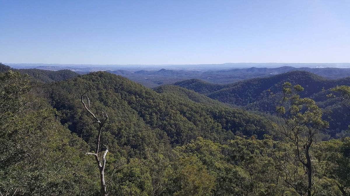
- Westridge Outlook, where a boardwalk circles a rocky outcrop with breathtaking views across the ranges and over the plains, according to QPWS.
- Wivenhoe Outlook, with sweeping views over Lake Wivenhoe and to the west.
- The Northbrook Parkway descent, leaving the rainforest for drier eucalypt forest and farmland as you drop towards the lake.
Neither outlook has toilets, so use the facilities at Maiala before you set off. The roads are sealed and suitable for conventional vehicles, but steep and winding; use low gears on the descent.
Westridge Outlook
Westridge Outlook is a highlight of the whole mountain. The boardwalk around the rocky outcrop is short and makes a lovely place to stop, especially late in the afternoon, when the light falls across the western ranges. On clear winter days you can see far over the plains. There are no tables, toilets or wheelchair access.
Wivenhoe Outlook
A little further on, Wivenhoe Outlook offers the first big view of Lake Wivenhoe, spreading among the hills below. It is a good place to understand the scale of the lake and the landscape it fills: a broad valley of the Brisbane and Stanley rivers, now drowned by the dam.
Lake Wivenhoe
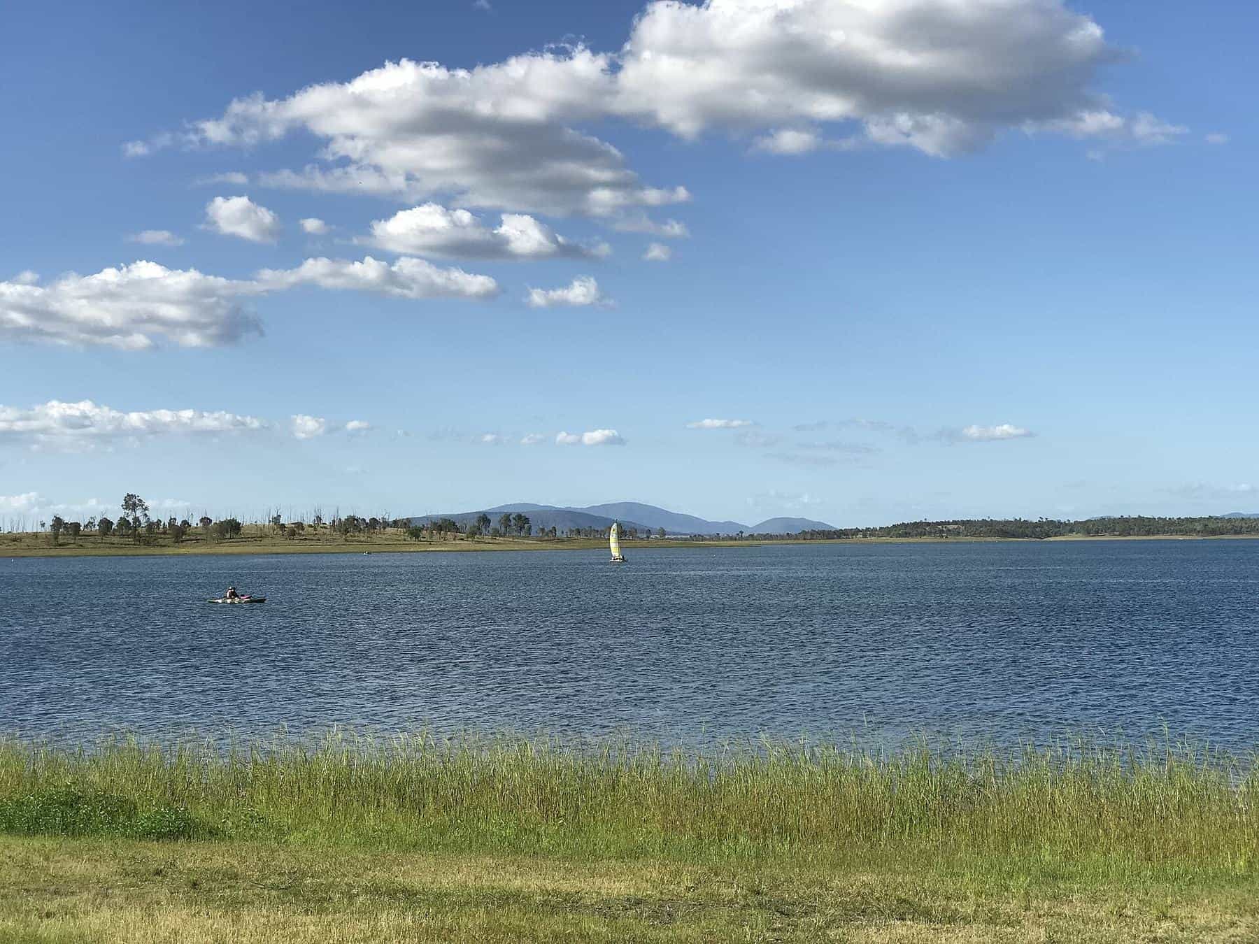
Lake Wivenhoe is the artificial lake formed by Wivenhoe Dam on the Brisbane River. The dam's primary purpose is to supply drinking water for the Brisbane and Ipswich regions, and it also provides flood mitigation, hydroelectricity and recreation. It is the largest dam in South East Queensland.
Some numbers give a sense of its size. The earth and rock dam wall is 59 metres high and 2,300 metres long. At full capacity it holds back about 1,165,000 megalitres. The catchment covers 7,020 square kilometres, including much of the south-western slopes of D'Aguilar National Park, and the lake's maximum shoreline is about 462 kilometres. The Brisbane Valley Highway crosses the top of the dam wall.
The lake's irregular shape created numerous headlands, inlets, bays and islands. The surrounding land is set aside for water management, and the locality of Lake Wivenhoe had "no people or a very low population" at the 2021 census.
A short history of the dam
A dam at Wivenhoe was first investigated in the 1890s and again in 1933. Further investigations began in the mid-1960s, and the government approved construction in November 1971. The devastating 1974 Brisbane flood highlighted the need for flood protection. Land acquisition began in 1973, approval for the pumped-storage hydro-electric scheme followed in 1976, and the first construction contract was awarded in March 1977. The dam takes its name from the local Wivenhoe Pocket community. Seqwater has managed it since 2008.
From the range to the lake: following the water
The drive down the Northbrook Parkway follows the water in a very real sense. Rivers rise on the D'Aguilar Range and run in two directions. To the east, the North Pine and South Pine rivers flow towards Moreton Bay. To the north and west, the Stanley River and its tributaries flow into the catchments of Somerset Dam and Wivenhoe Dam. Much of the south-western slopes of D'Aguilar National Park drain into Lake Wivenhoe's catchment of 7,020 square kilometres.
That makes the forest you walked through at Maiala part of the water supply system for South East Queensland. Protecting the forests of the range, which was one of the concerns raised when Brisbane Forest Park was proposed in the 1970s, also protects the quality of the water that runs off them.
The spillway and power station
Wivenhoe Dam is more than a wall of earth and rock. Its gated spillway has five steel crest gates, each 12 metres wide and 16.6 metres high, with a discharge capacity of 12,000 cubic metres per second, and an auxiliary spillway guards against over-topping in extreme floods. The lake also forms part of the water storages for the Wivenhoe Power Station, a pumped-storage hydro-electric scheme approved in 1976.
Things to do at the lake
Seqwater manages recreation on Lake Wivenhoe and publishes current information on permitted activities, recreation areas, closures and safety notices. Activities can change with water quality, levels and operations, so always check the Seqwater website before you go. QPWS also points visitors to Seqwater for the latest on access to Lake Wivenhoe, Lake Somerset and other dams around the range.
Loop routes back to Brisbane
QPWS suggests two ways back:
- Via the Brisbane Valley Highway. Continue to the highway and drive back to Brisbane through the Brisbane Valley. This makes a big loop and avoids retracing your steps over the range.
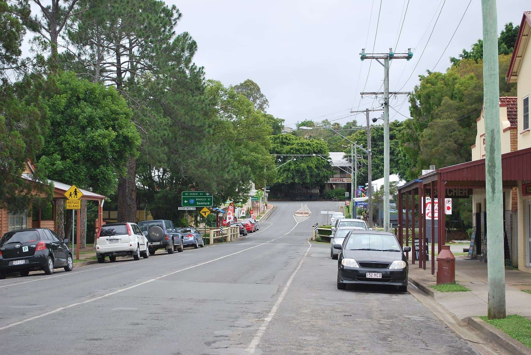
- Back over the range. Return up the Northbrook Parkway to Mount Glorious, then descend to Samford on Samford–Mount Glorious Road for a different view on the way home.
A full-day itinerary
Morning: Leave Brisbane early and drive up Mount Nebo Road, stopping at Jollys Lookout.
Late morning: Walk the Rainforest circuit at Maiala, and have an early lunch at Mount Glorious or a picnic at Maiala.
Early afternoon: Stop at Westridge Outlook and Wivenhoe Outlook, then descend the Northbrook Parkway to the lake.
Afternoon: Explore a Seqwater recreation area by the lake, then return to Brisbane via the Brisbane Valley Highway.
Driving tips
- Fuel. There is no fuel on the mountain. Fill up before you leave Brisbane.
- Time. The parkway is slow and winding. Allow plenty of daylight, especially in winter.
- Wildlife. Watch for wallabies and pademelons on the verges at dawn and dusk.
- Heat. The lakeside is lower and warmer than the mountain. Carry water in summer.
- Mobile reception can be patchy. Download maps before you set off.
Lake loop checklist
0 of 6 done
Ticks are saved in this browser only.
Frequently asked questions
What is the Northbrook Parkway?
The Northbrook Parkway is the road that continues from Mount Glorious down the western side of the D'Aguilar Range, linking D'Aguilar National Park with the eastern shore of Lake Wivenhoe.
Can I see Lake Wivenhoe from Mount Glorious?
Yes. Wivenhoe Outlook, beyond the village, has sweeping views over Lake Wivenhoe and to the west. Westridge Outlook also looks west across the ranges and plains.
How big is Lake Wivenhoe?
At full supply, Wivenhoe Dam holds back a reservoir of about 1,165,000 megalitres, with a maximum shoreline of around 462 kilometres. It is South East Queensland's largest dam.
Can I swim or boat on Lake Wivenhoe?
Seqwater manages recreation on Lake Wivenhoe. Permitted activities, areas and closures change, so check the Seqwater website before you go.
How do I get back to Brisbane from Lake Wivenhoe?
QPWS suggests returning to Brisbane via the Brisbane Valley Highway, or back over the range via Mount Glorious and Samford–Mount Glorious Road.
When was Wivenhoe Dam built?
Government approval to build was given in November 1971, and the first construction contract was awarded in March 1977. The 1974 Brisbane flood highlighted the need for the dam's flood mitigation role.
Sources and further reading
Facts on this page were checked against these primary and official sources. Conditions change — confirm before you travel or buy.
- D'Aguilar National Park – Things to do (driving) — Queensland Parks and Wildlife Service
- D'Aguilar National Park – Attractions — Queensland Parks and Wildlife Service
- Wivenhoe Dam — Wikipedia
- Lake Wivenhoe — Wikipedia
- D'Aguilar Range — Wikipedia
- Seqwater – Recreation — Seqwater